
Tutorial: How to Use the Pennsylvania Mine Map Atlas
In this tutorial, you will learn how to use the Pennsylvania Mine Map Atlas.
This tutorial is divided into four sections:
Section 1: How to search for mine maps.
Section 2: How to view, download, and highlight mine maps.
Section 3: How to use the advanced tools including transparency, base maps, and measurement tools.
Section 4: Connecting to PHUMMIS.
NOTE: For important information on Mine Subsidence Insurance please go to https://dep.pa.gov/msi
Section 1: How to search the PA Mine Map Atlas
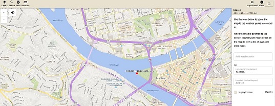
Click on the Search Button in the Upper Left to open the Search Panel.
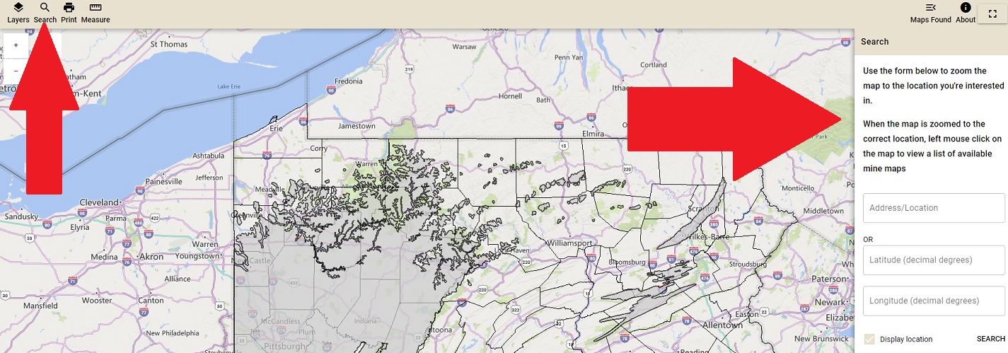
You can search the PA Mine Map Atlas by Address/Location (Try: County, Municipality, street address, zip code, or landmark) or by latitude and longitude.
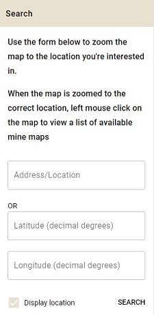
To search by Address:
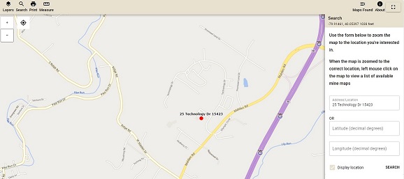
Example: Use Address/Location to search for a specific address.
1. Type the address you are searching for followed by the zipcode.
2. Click the Search button.

To search by Latitude and Longitude:
1. Type the latitude of the location in the latitude input box.
2. Type the longitude of the location in the longitude input box (negative value for Pennsylvania).
3. Click the Search button.
NOTE: The values must be in the decimal degrees format.
Example: Type the Latitude and Longitude (Decimal Degrees) into the input boxes to zoom to a specific latitude/longitude.

To continue with the tutorial and learn about How to View and Download Mine Maps, click the Continue button below.
